Nitrogen fertilizer: the farmer’s sworn enemy
Since the 1980s, farmers have been using nitrogen fertilizers intensively, with a negative impact on the environment and health. According to the 2020 report report of the United Nations Environment Programme (UNEP), nitrogen is both “consumed too much in some places – leading to environmental disasters – and misallocated in others – being sorely lacking in the poorest regions.”
Over the years, this practice has expanded globally, and new challenges are emerging:
- Fertilizer applied outside the optimum period can end up in watercourses, leading to a problem of algae proliferation(eutrophication) in these watercourses.
- Fertilizer quantities that don’t take into account soil properties and plant needs can leave an excess of fertilizer in the soil that won’t be fully absorbed by plants.
- Farmers rely on recommendations that are not necessarily based on adequate geospatial information to estimate the nitrogen dose, instead of using a reliable model, which leaves a great deal to subjectivity.
- Measurements based on field surveys do not provide an overview of all geographical areas and soil textures at the time when the fertilizer should be applied.
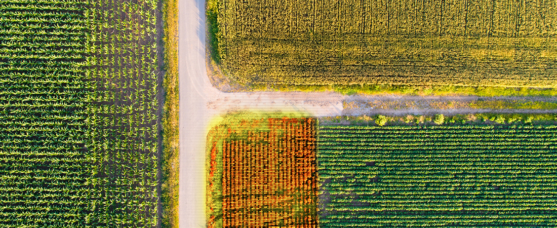
The solution: integrate satellite imagery and CRIM’s machine learning expertise
Precision farming helps farmers make better decisions. It relies on technological tools that, among other things, enable soil mapping and help determine the optimum amount of fertilizer according to the spatial variability of soils and other characteristics (moisture levels, crop vigor, etc.) within fields.
One of these tools,satellite imagery, is “spearheading spearhead “of precision agriculture. In Quebec, Effigis Géo-Solutions has developed a nitrogen fertilization recommendation tool for corn fields, based on research carried out by Agriculture and Agri-Food Canada This tool is based, among other things, on soil texture deduced (inferred) from the analysis of a time series of satellite measurements.
Effigis called on CRIM to help it exploit the series of satellite images usingmachine learning techniques. The aim was to retrieve soil texture information from high spatial resolution satellite images, at a more detailed scale than that of 1/20000 soil maps. And since fields are not uniform, i.e. they have topographical, drainage or textural differences, it is preferable that nitrogen be prescribed at variable rates.
As a result, the nitrogen recommendation tool for corn fields now has more detailed soil information than before, enabling more accurate variable-rate nitrogen maps to be produced.

Greater precision, better fertilizer use, higher productivity
The farmer who historically applied 170 kg of nitrogen fertilizer per hectare can now adjust the amount of fertilizer by taking into account the most important parameters, as prescribed by the model used by Effigis. The result is greater productivity, while respecting the principles of sustainable development. Effigis’ agronomy consulting clients who have used the model are very satisfied with the results.