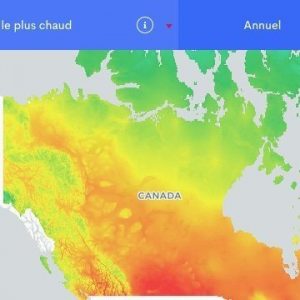
PAVICS brings together research in climatology in a phenomenal way. It enables scientists in Canada and abroad to design and visualize customized climate change scenarios to study impacts and adaptation options.
Context
PAVICS is a platform that facilitates the workflow of climate scientists. Operating on networked supercomputers, this platform relieves scientists of the workload associated with retrieving and archiving petabytes of data and provide parallel computing tools to explore, analyze, modify and visualize large volumes of climate data.
Project
Climate projections play a key role in assessing the impacts of climate change and the associated vulnerabilities and opportunities. Given the continuous increase in the spatial and temporal resolution of climate models, the growing number of model simulations and the increased complexity of data analysis methods, the computational effort required for state-of-the-art climate data analysis is accelerating at a rapid pace.
The PAVICS project, led by Ouranos in collaboration with CRIM, aims to build a platform capable of streamlining the climatologist’s workflow. Integrated with networked supercomputers, the platform will provide users with the tools they need to analyze and visualize a large amount of climate data. Emphasis will be placed on the most pressing needs, including the creation of standard and customized climate scenarios for impacts and adaptation studies, the exploration, analysis and validation of climate model simulations, and the visualization of climate scenarios.
Benefits
The PAVICS platform allows climatologists in Canada and abroad to design and visualize customized climate change scenarios to study impacts and adaptation options. Researchers are able to explore, analyze and modify petabytes of data, in addition to visualizing climate model simulations. The goal of PAVICS is to transform massive data access and repetitive processing into an exercise as simple as using a mouse to click, drag and paste.
The PAVICS project is being carried out in collaboration with the developers of the Earth System Grid Federation (ESGF) in order to realize their vision of working with data distributed on several servers around the world. Web visualization applications will also be created so that users can access climate information interactively and in a format targeted to their needs.


