Context
Canada is in great need of new and up-to-date bathymetric charts, but it is very expensive to go on site to take the required measurements. Why not try to see if existing satellite data can tell us if there are changes in bathymetry along Canada’s coasts?
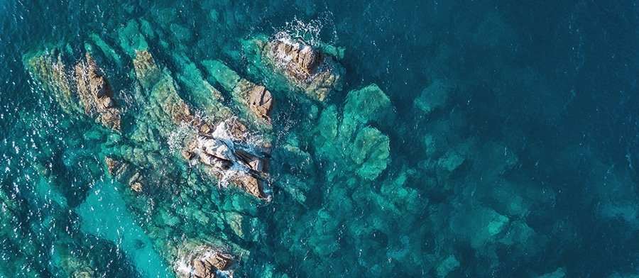
Project
The science of bathymetry is used to determine the topography of the seabed. The objective of the IABathym project, carried out in collaboration with Effigis Geo-Solutions, was to explore automatic approaches for detecting changes in shallow water areas based on a temporal series of images.
Impact
The preliminary results seem to indicate promising avenues for applied research in the future, as well as the potential for concrete applications such as the automated monitoring of topographic changes in waterways along Canada’s coasts, particularly in the context of climate change.